Canvas GIS Mapping Edition 9.0.4
Developed by ACD Systems
-
Windows
-
setup file canvas.exe (54.29 MB)
-
Shareware
Select a download mirror:
- Developer Link 1 (non https canvas.exe)
- Developer Link 2 (non https canvas.exe)
- Download3k US (canvas.exe)
- Download3k EU (canvas.exe)
MD5: 65f665b81fe1e10a7ece0fd8e6f7b378
All files are original. Download3K does not repack or modify downloads in any way. Check MD5 for confirmation.
Developer Description
"Illustration & image editing with GIS Mapping"
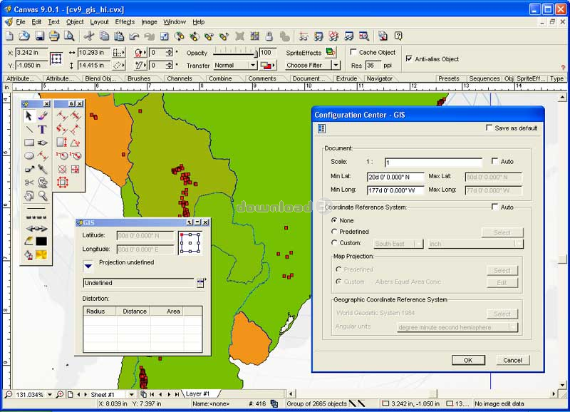
The CANVAS 9 GIS Mapping Edition adds native support for Geographic Information System (GIS) data to Canvas. You can take measurements in geographic coordinates, import industry standard SHAPE and GeoTIFF files into unlimited numbers of automatically aligned overlapping layers and choose among the following options:2,104 Coordinate Reference Systems
67 Operation Methods (like Mercator, Albers Conic Equal Area?)
1,052 Map Projections
302 Geodetic Datums
21 Angular units
45 Length units
The CANVAS 9 GIS Mapping Edition bridges the gap between dedicated GIS analysis software and generic "DTP" software. For many applications CANVAS 9 GIS Mapping Edition can now replace programs costing thousands. For the rest, CANVAS 9 GIS Mapping Edition is now the preferred "last mile" publishing companion to dedicated GIS analysis software.
Requirements: Pentium III, Win 2000,XP 128 MB RAM 100 MB HD, 16-bit color, 1024x768 Res
What's new in this version: GIS specific features are now available via a top-level menu. Importing SHP files streamlined & Improved
Antivirus information
Download3K has downloaded and tested Canvas GIS Mapping Edition on 11 Apr 2012 with some of Today's best antivirus engines and you can find below, for your convenience, the scan results:
-
Avira:
Clean -
Kaspersky:
Clean -
NOD32:
Clean

Popular downloads in Photo & Graphic
-
 Bandicam Screen Recorder 8.3.0.2533
Best Game, Video, Screen Recording Software -
 PhotoScape 3.7
A fun and easy photo editing software. -
 Magic Photo Editor 7.5
Easilly blend photo onto another picture. -
 SketchUp Make 16.1.1450 32-bit / 17.2.2555 64-bit
An easy-to-learn 3D modeling program. -
 jAlbum 39.4
Highly customizable web galleries for any site. -
 Shipping Container House Plans 1.1
Shipping Container House Plans Software -
 VEGAS Pro 22.0.0 Build 248
Provide the ultimate all-in-one environment -
 Corel PaintShop Pro 2023 25.2.0.58 Update 2
All you need to create fantastic photos! -
 Just Color Picker 6.2
Free colour picker and colour-editing tool. - JR Split File 1.2
Split a large file into smaller files
User rating
0/5 (0 votes)
Your rating
-
OS
WinXP,Windows2000 -
License
Shareware -
Price
$549.99 -
Updated
12/3/2005 -
Downloads
322 (1 last week) -
Size
54.29 MB -
MD5
65f665b81fe1e10a7ece0fd8e6f7b378 -
SHA1
d2c9a8a6efc9ff574a1e139f377f32223322d73d -
Developer
ACD Systems