Google Maps Adds Elevation Profile for Walking and Hiking - Here's How to Use it
The desktop version of Google Maps added elevation profile details and options for walking and hiking. Sounds familiar? That's because this feature has been available in Google Maps for cycling since 2014. While the cycling/biking elevation details are available on Google Maps for mobile as well, the similar feature for walking has not made its way into the mobile editions, yet.
How does it work
Simply open Google Maps on desktop or laptop and type an address/POI/etc then choose Directions and enter a starting point. You can choose multiple points on the map, right-click the map to add more stops, drag the route around to customize it.
Once calculations are made, your route will be displayed, with options for driving, biking, walking, public transport and so on, depending on the options available for that particular zone of the map. Choose Walking at this point in order to see the newly added options for walking/hiking.
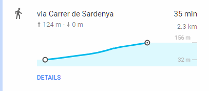
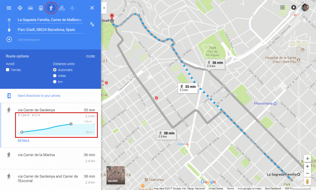
You'll see a small elevation graph, with starting and ending elevation in meters or miles, the total for climbing and descent, and estimated time to reach the destination.
If alternatives route are present, they will appear below, with same options as mentioned above, once you click on each alternative route.
The Options button shows more options: a checkbox to avoid ferries and the option to choose between miles and kilometers as distance units. At any point you can switch between Satellite and Map view.
Here's an example of a route plotted between La Sagrada Familia and Parc Güell, in Barcelona, Spain.
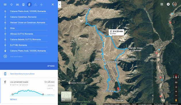
Surprisingly, this new Google Maps feature does a decent job on hiking routes as well, when walking paths are known. Below is an example of a classic 1-day hiking route in Romania's Bucegi mountains. It nailed pretty much everything just right.
Alternatives
Doogal.co.uk provides a handy tool at https://www.doogal.co.uk/RouteElevation.php which works similarly, but uses both Google and Bing maps, allows for the route to be downloaded as GPX, KML, and CSV, shows an elevation graph, allows for selecting part of the chart in order to grade a climb, and can be used with an uploaded GPX track as well.
Bonus
We covered before How to find the elevation of any point on Earth using Google Maps, with Google's API and third-party sites.
- Source


